


")


Decoding Tanzania’s Population Patterns: An In-depth Look at the Population Density Map
Tanzania, located on the eastern coast of Africa, is known for its diverse landscapes, rich wildlife, and vibrant cultures. However, it is the country’s population patterns that truly shape its present and future. Understanding the distribution and density of population is crucial for effective planning and development. In this article, we will delve into Tanzania’s population density map and explore its significance in unraveling the complex tapestry of human settlement.
Understanding population density and its importance
Population density refers to the number of individuals living within a particular area. It is a key indicator of the concentration of people in a given region. By analyzing population density, policymakers, urban planners, and researchers can gain insights into various aspects of societal development, such as resource allocation, infrastructure planning, and social services provision. It provides a lens through which we can comprehend the dynamics of human settlements and their impact on the environment.
The significance of population density maps
Population density maps are invaluable tools that visually represent the distribution of population across a specific area. They provide a comprehensive overview of the concentration of people in different regions, allowing for a better understanding of spatial patterns. These maps are created by gathering data on population counts and land area measurements, which are then interpolated to generate a visual representation of population density.
Population density maps offer a multitude of benefits. They aid in identifying densely populated regions, which can help policymakers allocate resources and plan infrastructure accordingly. Additionally, these maps facilitate the identification of areas with lower population densities, which may require targeted development initiatives to ensure equitable distribution of resources. By analyzing population density maps, researchers and policymakers gain valuable insights into the social, economic, and environmental challenges faced by different regions, enabling them to devise targeted strategies for sustainable development.
Overview of Tanzania’s population density map
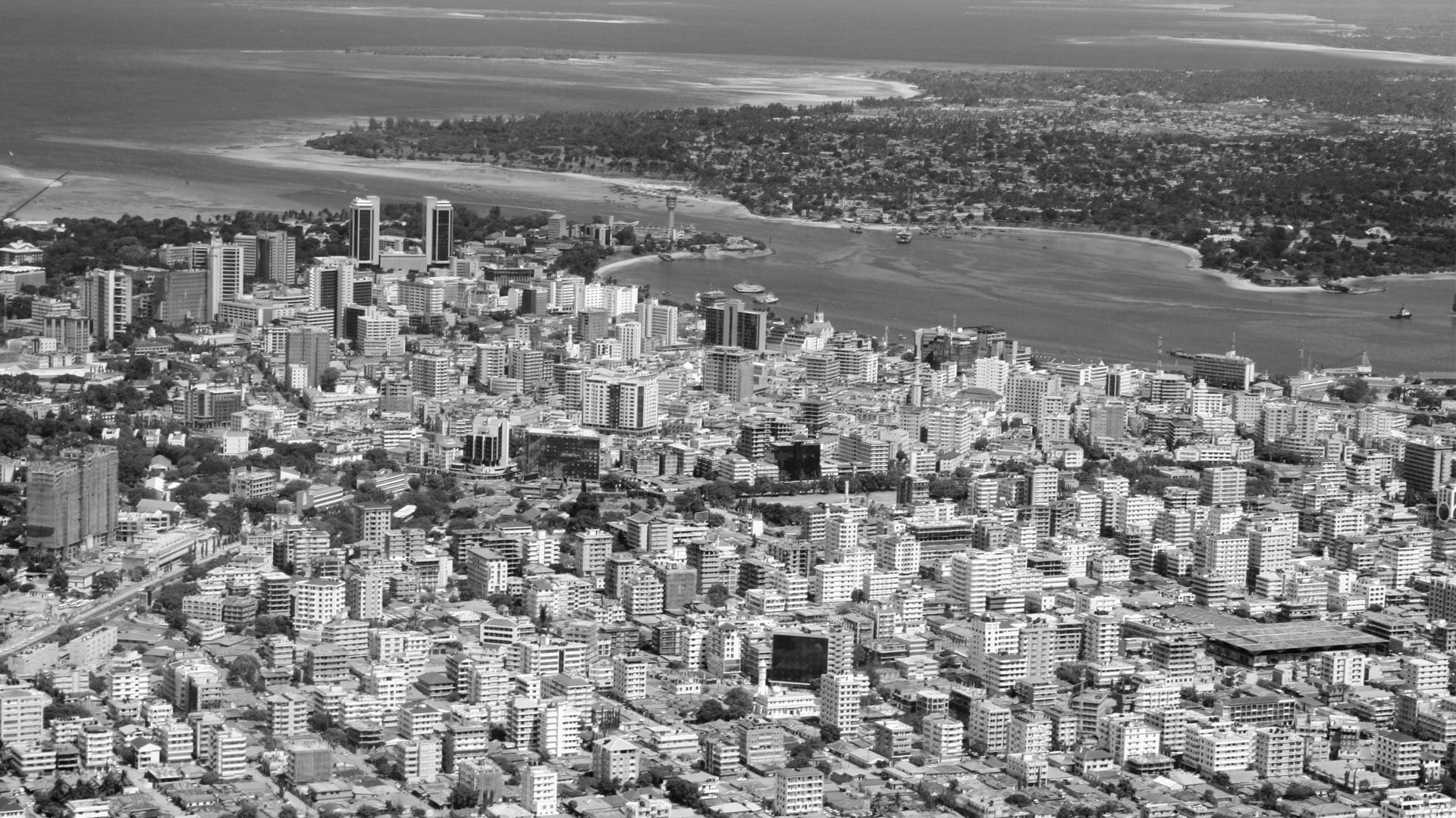
Tanzania’s population density map provides a comprehensive view of the distribution of its approximately 60 million inhabitants. The map showcases the varying levels of population concentration across the country, highlighting densely populated urban areas, sparsely populated rural regions, and everything in between. By examining the map, we can gain valuable insights into the demographic landscape of Tanzania and its implications for development.
In Tanzania, the population is not uniformly distributed. The coastal areas, such as Dar es Salaam and Zanzibar, exhibit high population densities due to their economic opportunities and access to transportation networks. The central region, including Dodoma and Arusha, also experiences significant population concentration. Conversely, the western and southern regions, characterized by vast expanses of wilderness and rural landscapes, have lower population densities. Understanding these variations is essential for effective resource allocation, infrastructure development, and service provision.
Factors influencing population density in Tanzania
Several factors influence population density in Tanzania. Economic opportunities, accessibility to amenities, availability of natural resources, and historical factors all play a role in shaping population patterns. Urban areas tend to have higher population densities due to the concentration of economic opportunities, better access to education and healthcare, and improved infrastructure. Conversely, rural areas often have lower population densities as they are predominantly agricultural and lack the amenities and services available in urban centers.
Historical factors also contribute to population density disparities. Regions that have historically been centers of trade, administration, or colonial influence tend to have higher population densities. Additionally, natural resources such as fertile land, water sources, and mineral deposits attract settlements and impact population distribution. By understanding these factors, policymakers can develop targeted strategies to manage population density and promote balanced development.
Urban vs. rural population distribution in Tanzania
Tanzania, like many countries, experiences a significant divide between urban and rural population distribution. Urban areas are characterized by higher population densities, infrastructure development, and economic opportunities. In contrast, rural areas often face challenges such as limited access to basic services, inadequate infrastructure, and lower living standards. This urban-rural divide presents both challenges and opportunities for sustainable development in Tanzania.
Efforts to bridge the urban-rural gap require a multi-faceted approach. Improving infrastructure in rural areas, such as road networks and access to healthcare and education, can attract investment and facilitate economic growth. Promoting agricultural innovation and diversification can also contribute to rural development, reducing the pressure on urban areas. Balancing population distribution through targeted policies and investments can lead to more sustainable and inclusive development across the country.
Impacts of population density on infrastructure and resources
Population density has significant implications for infrastructure and resource management in Tanzania. Higher population densities in urban areas put pressure on existing infrastructure, such as transportation systems, water supply networks, and waste management systems. As cities grow, ensuring the adequacy and sustainability of these systems becomes critical to maintain a high quality of life for residents.
Moreover, population density affects the availability and equitable distribution of resources. In densely populated areas, competition for resources such as land, water, and energy increases. This can lead to environmental degradation, unequal access to resources, and social tensions. Understanding the impacts of population density on infrastructure and resources is crucial for sustainable development planning and resource management.
Challenges and opportunities presented by population density in Tanzania
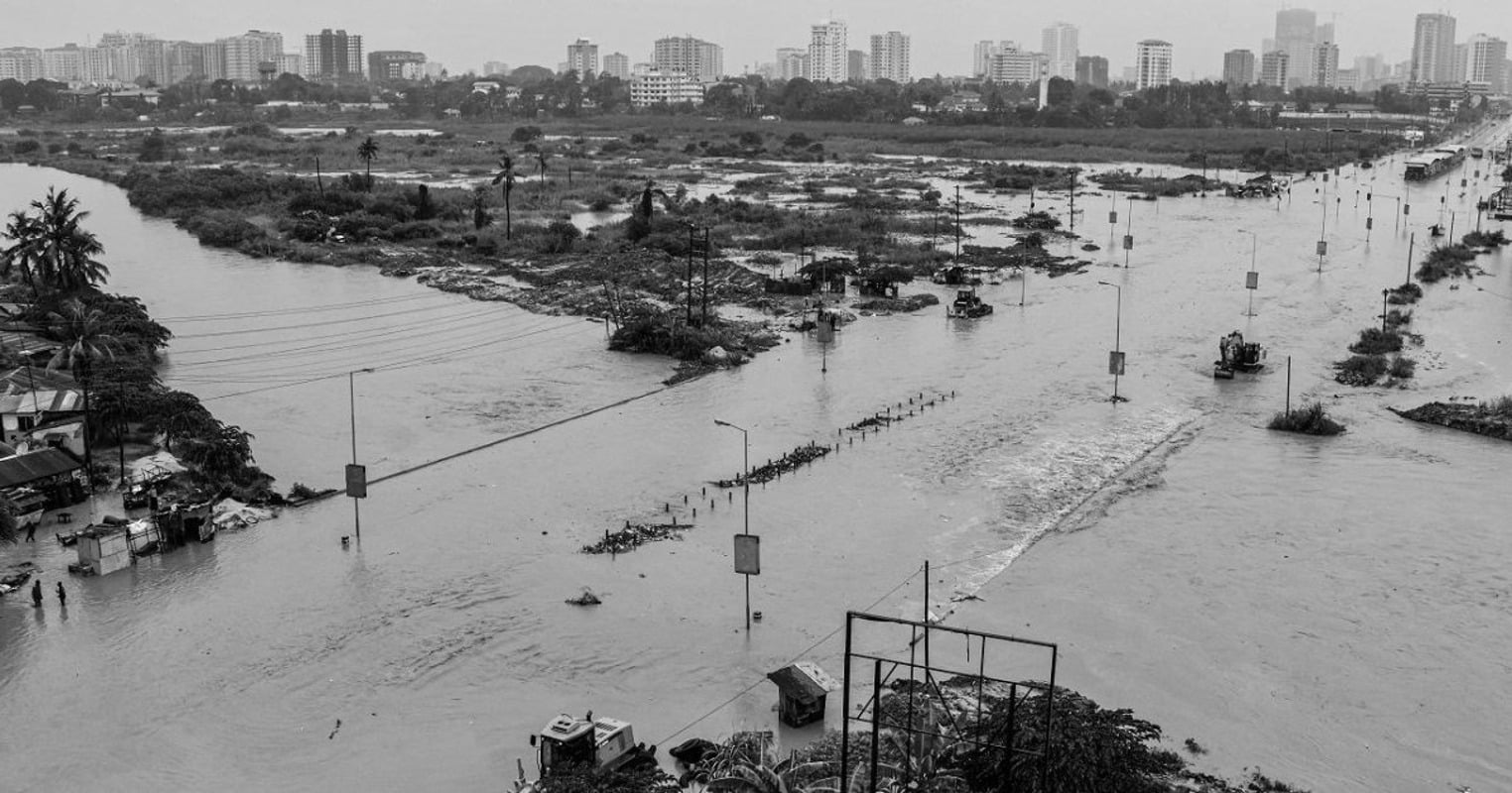
Tanzania faces both challenges and opportunities associated with population density. High population densities in urban areas can strain infrastructure and services, leading to overcrowding, traffic congestion, and inadequate housing. Additionally, rapid urbanization can result in informal settlements and slums, exacerbating social inequality and environmental degradation.
However, population density also presents opportunities for economic growth and innovation. Concentrated populations in urban areas can foster vibrant economies, cultural diversity, and knowledge exchange. By investing in sustainable urban planning, affordable housing, and efficient transportation systems, Tanzania can harness the potential of its high population densities to drive economic development and improve quality of life for its citizens.
Initiatives to manage and balance population density in Tanzania
Tanzania recognizes the importance of managing and balancing population density for sustainable development. The government has implemented various initiatives to address population density challenges and promote equitable growth. These initiatives include urban planning strategies, investment in rural development, and the provision of basic services such as healthcare and education in underserved areas.
Furthermore, the government is actively engaging with communities, civil society organizations, and international partners to develop comprehensive policies and strategies. These efforts aim to promote sustainable urbanization, improve resource management, and ensure equitable distribution of services. By involving various stakeholders and adopting a holistic approach, Tanzania is working towards managing population density and leveraging it as a driver of development.
The importance of population density mapping for Tanzania’s future planning
In conclusion, population density mapping plays a crucial role in unraveling Tanzania’s complex population patterns. By understanding the distribution and concentration of population, policymakers can make informed decisions regarding resource allocation, infrastructure development, and service provision. Population density maps provide valuable insights into the challenges and opportunities presented by population distribution, enabling targeted strategies for sustainable development.
As Tanzania continues to grow and develop, it is vital to ensure that population density is managed and balanced effectively. By adopting comprehensive policies, investing in infrastructure, and promoting equitable development, Tanzania can harness the potential of its population density to drive economic growth, improve living standards, and create a sustainable future for all its citizens.
Click here for more articles related to Daily Life in Tanzania and Social Customs!


