


")


Karagwe District – History, People, Wards and More
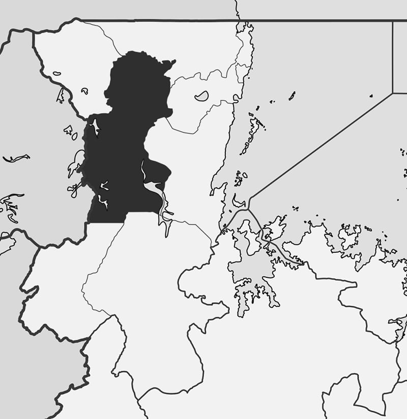
Karagwe is one of Tanzania’s eight districts in the Kagera Region. It borders Uganda to its north, Bukoba Rural District to its East, Muleba District to its Southeast, Ngara District to its south, and the Republic of Rwanda to its West, the boundary is marked by a river.
Karagwe District has a population of 425,476 people as per the Tanzanian National Census of 2002.
Taking a bus to the Karagwe area is the most convenient method to get there. Use piki-pikis (motorbikes) or dalla-dallas (minute buses) to move around.
Inhabitants of the Karagwe District may go fishing in small lakes like the Rushwa, Rwakajunju, Ikimba, Burigi, and Rushwa.
History of Karagwe Kingdom
The modern-day Karagwe Tanzania region was once part of a larger kingdom known as the Karagwe Kingdom. The Karagwe kingdom was one of East Africa’s several Great Lakes kingdoms. The Karagwe people, also called Abanyambo, claim descent from the Kitara empire, which was governed by the Bachwezi dynasty.
Political Organization of Karagwe Kingdom
Nono Marinja (also called Nono ya Marinja) was the first local leader of the Karagwe kingdom prior to the arrival of Ruhinda’s generation. This indigenous chieftain was from the “Abasiita” Nyambo clan. Before Hamtik’s entrance to the region in the interlacustrine zone, his clan was the dominant clan.
During the nineteenth century, the Karagwe kingdom reached its pinnacle. Growth is thought to have happened in the early 1800s, according to archeological data. King Ndagara ascended to the throne in 1820 and reigned until 1853 when Rumanyika replaced him. The Bugandan states in the north, as well as central African symbolic forms, have strong historical and linguistic ties to the region.
Karagwe’s success became famous as the 18th century ended, and traders bartered copper, oranges, pepper, millet, and salt for local goods. Ugandans introduced cooking bananas and beans around 1800. Arabs arrived in the early 1840s, and trade, particularly the slave trade, flourished. Several crops such as citrus fruits, vegetables, pawpaw, cassava, maize, sweet bananas, and tomatoes were introduced, as well as the introduction of the cowrie as a hard currency.

Karagwe was affected by pests, epidemics, and local wars during the 1890s. Smallpox and rinderpest outbreaks reduced the livestock and human populations. German authorities based in Bukoba eventually settled tribal wars. The Germans introduced Commercial coffee cultivation around 1900, and it was developed further during the British reign. The majority of the coffee produced was sold in the United Kingdom. The Indians established coffee processing factories in Bukoba in 1935. The first farmer associations were formed during and post WWII, and several farmers relocated to Karagwe from Bukoba. 165,000 Rwandan refugees were split up into five camps in the late 1990s. NANASI from Chanika village, Kagutu village, and other places, though on a small scale, is the other agricultural product that is at its peak.
People of Karagwe Kagera Tanzania
There are many sub-tribes in Karagwe, but the Nyambo, also known as Abanyambo, is the most populous. Wanyambo is another name for them, and their language is called Kinyambo.
Karagwe Wards
Karagwe District is divided into over 20 administrative wards, including:
- Rugu
- Nyaasimbi
- Nyakabanga
- Nyakakika
- Nyaahanga
- Nyaishozi
- Nyabiyonza
- Ndama
- Kituntu
- Kiruruma
- Kamagambo
- Kihanga
- Kibondo
- Kayanga Karagwe
- Kanoni
- Ihembe
- Ihanda
- Igurwa
- Bweranyange
- Bugene
Karagwe district council – http://karagwedc.go.tz/
Other Important Information About Karagwe
- Karagwe diocese – https://www.karagwe-diocese.org/
Karagwe Map
For more articles related to regions of Tanzania click here!


