Kilimanjaro Region Tanzania – Districts, History, Geology and More
Kilimanjaro Region is one of the thirty-one administrative regions in Tanzania. The region’s postcode is 25000. Moshi municipality serves as the region’s capital. Statistics from the national census conducted in 2012 show that the region’s total population is 1,640,087. This figure falls short of the pre-census estimate of 1,702,207. The region’s average yearly growth of 1.8% between 2002 and 2012 was the 24th highest in Tanzania. With 124 persons per square kilometre, the region ranks eighth on the list of the most densely populated region in the country.

Mount Kilimanjaro is Located in Which African Region?
Kilimanjaro Region is part of Tanzania’s Northern Tourism Circuit. Tourist attractions like the Mkomazi National Park, Lake Chala, Lake Jipe, Pare Mountains, and the Kilimanjaro National Park (that contains mount Kilimanjaro) are among the things to do in Kilimanjaro region if you visit as a tourist. Kenya borders the region to the east and north. Arusha Region borders the region to the west, while Manyara Region and Tanga Region borders the region to the southwest and south, respectively.
Kilimanjaro Region Districts
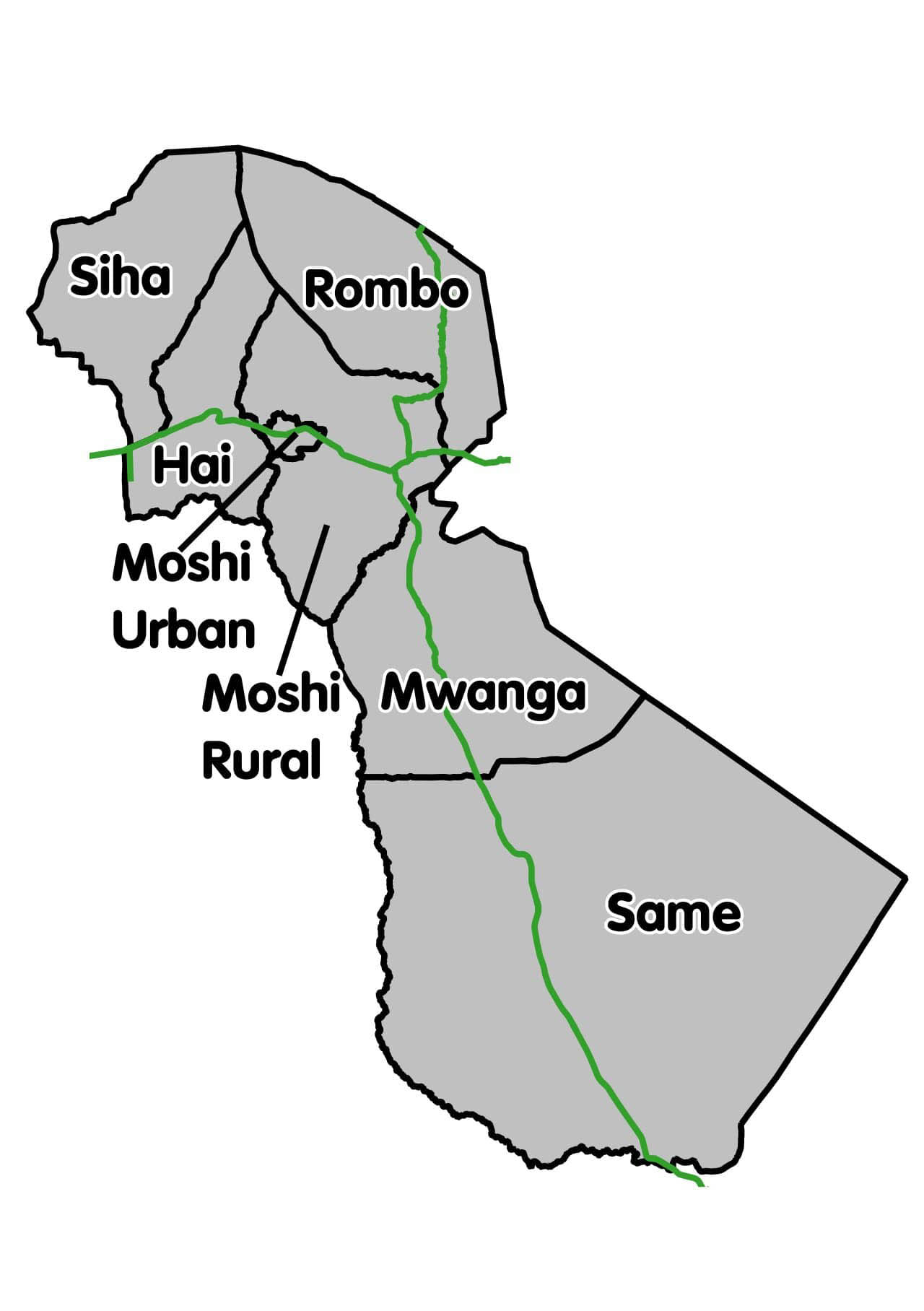
Administratively, the Kilimanjaro region is divided into 6 districts. Each of these districts has a solitary local government council save Moshi District that has two, one of which functions as the region’s capital.
| Districts in Kilimanjaro Region | |||
|
Map of Kilimanjaro (major roads are marked green) 
|
Districts |
Population (according to 2012 Census) |
2017 Population Estimates |
| Hai District | 210,533 | 229,791 | |
| Moshi District | 466,737 | 509,431 | |
| Mwanga District | 131,442 | 143,466 | |
| Moshi Municipal | 184,292 | 201,150 | |
| Rombo District | 260,963 | 284,834 | |
| Same District | 269,807 | 294,487 | |
| Siha District | 116,313 | 126,953 | |
| Total | 1,640,087 | 1,790,113 | |
History of the Kilimanjaro Region
Officially, the Kilimanjaro region was created in 1963 with two districts – Pare and Kilimanjaro. The Kilimanjaro region used to be part of the Northern Province in pre-independence Tanganyika. The districts in Northern Province included Mbulu and Arusha, while Pare District constituted a part of Tanga Province.
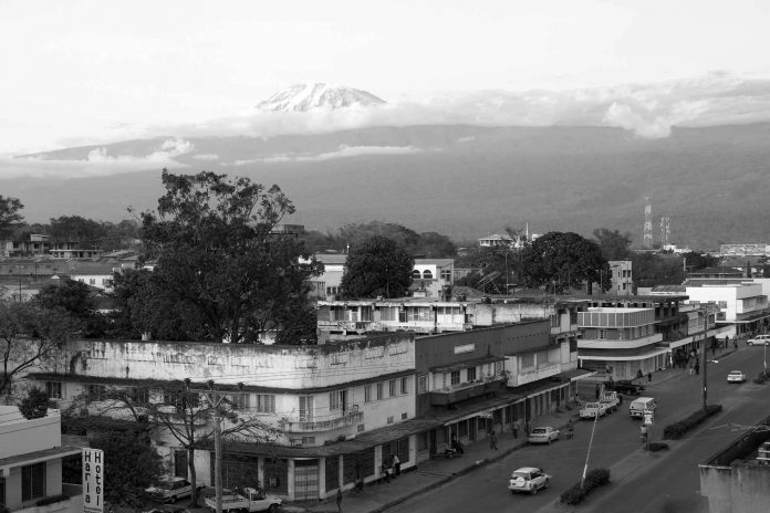
Traditionally, four of the six districts in the region had Chagga communities, namely Moshi District, Hai District, Siha District and Rombo District. The remaining two, Same District and Mwanga District, have historically included Pare communities. However, during colonial times in the late 19th century to the 20th century, the Kilimanjaro region was split into two major districts – Pare District, which was a settlement of the Pare tribe and Moshi District that included all the areas the Chagga people settled on the mountain slopes. From earlier times, the region had been settled by the people collectively known as the Maasai, the Chagga, the Waarusha (found in the lower areas of Mt. Kilimanjaro) and the Wakwavi, as well as the Pare on the Pare mountains. These people have been trading, intermingling and even clashing from time to time for different social and political reasons. Other tribes later moved to the area.
Kilimanjaro Region Geology
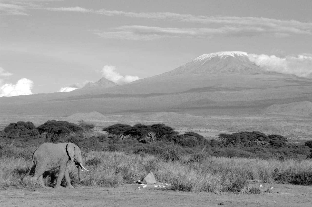
Mount Kilimanjaro sits on a tectonic plate 50 miles (80km) east of the tectonically active Rift Valley. The action that caused this stratovolcano dates back less than one million years. Sulphur fumaroles and steam indicate residual activity.
At a stage, an ice cap possibly more than 330 ft (100 metres) deep covered most of the top of Kilimanjaro. Glaciers extended down the mountain to form moraine ridges which are markedly visible now on the southern flanks down to around 13,000 feet (4,000 metres). Presently, only a little portion of the glacial cover remains.
Other Important Information About the Kilimanjaro Region
Kilimanjaro region weather – https://www.timeanddate.com/weather/@157449
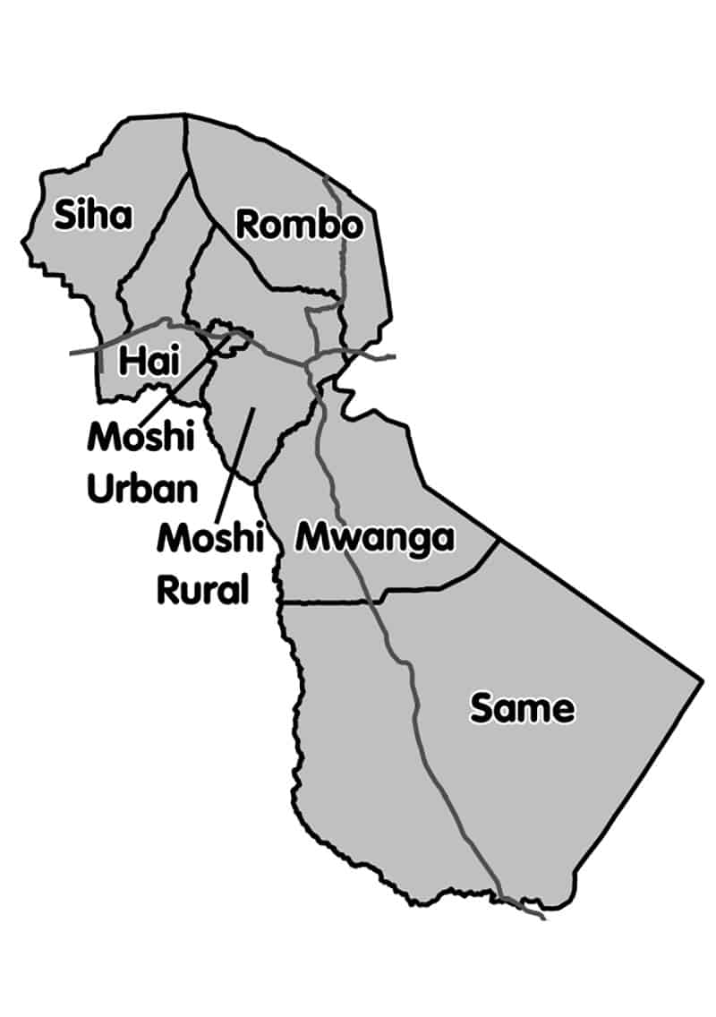
Kilimanjaro Region Map

For more articles related to regions of Tanzania click here!


