


")


Overview: Simiyu Region, Districts, Commissioners and More
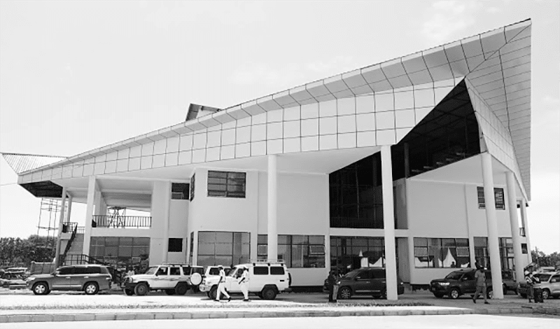
Simiyu Region is one of the thirty-one administrative regions in Tanzania. The capital of the region is located in Bariadi town. The region gets its name from River Simiyu. The Serengeti National Park, a UNESCO World Heritage Site, is jointly located in the region and Mara Region. Simiyu Region was carved out from a part of the Shinyanga Region in March 2012.
The Simiyu region Tanzania’s total population is 1,584,157, according to the national census conducted in 2012. Between 2002 and 2012, Simiyu Region’s 1.8% yearly population growth was the 23rd highest growth rate in Tanzania. With 63 persons per square kilometer, the region had the 15th highest population density in Tanzania.
Simiyu Tanzania Districts
The region is administratively split into 5 districts.
| District | 2012 Population Census |
| Meatu | 299,619 |
| Maswa | 344,125 |
| Itilima | 313,900 |
| Busaga | 203,597 |
| Bariadi | 422,916 |
| Total | 1,584,157 |
Meatu District
Meatu District is among the 5 districts of Tanzania’s Simiyu Region. Itilima District and Singida Region border Meatu District to the north and south, respectively, while Manyara Region and Arusha Region borders the district to the southeast and east, respectively. It is also bordered by Shinyanga Region and Maswa district to the west. The capital of the district is located in Mwanhuzi town. Meatu District’s total population was 248,948 people, according to the national census conducted in 2002. The national census conducted a decade later in 2012 puts the district’s population at 299,619.
Transport
The unpaved trunk roadway T37 linking Singinda Region to Shinyanga Region runs through Meatu District
Administrative Subdivisions
Administratively Meatu District in Simiyu was split into twenty-five wards as of 2012.
Wards
- Tindabuligi
- Bukundi
- Itinje
- Imalaseko
- Lingeka
- Kimali
- Kisesa
- Mwabusalu
- Lubiga
- Mwabuma
- Mwamalole
- Mwabuzo
- Mwakisandu
- Mwamishali
- Mwamanimba
- Mwamanongu
- Mwanhuzi
- Mwandoya
- Mwangundo
- Mwasengela
- Mwanjolo
- Mwanyahina
- Sakasaka
- Nghoboko
- Nkoma
Maswa District
Maswa District is among the 5 districts in Tanzania’s Simiyu Region. It is the home of the Nyantuzu people (Sukuma). Kishapu District and Meatu District border Maswa District to the south and east, respectively. Also, Kwimba District borders the district to the west, and Itilima District and Magu District borders it to the north. The district’s administrative center is in Maswa town.
Maswa District’s total population stood at 304,402 people according to the national census conducted in 2002. The national census conducted in 2012 puts the district’s population at 344,125.
Transport
Trunk roadway T36, the highway connecting Mara Region to Shinyanga Region, runs the town of Maswa.
The central railway line from Tabora town to Mwanza runs through Maswa District from south to north. A train station is also located within the boundaries of the district in Malampaka village.
Administrative Subdivisions
Administratively, Maswa District in Simiyu was split into twenty-six wards as of 2012.
Wards
- Badi
- Buchambi
- Binza
- Dakama
- Budekwa
- Busilili
- Kadoto
- Ipililo
- Isanga
- Malampaka
- Sukuma
- Kulimi
- Lalago
- Mwamanenge
- Masela
- Mpindo
- Nguliguli
- Mwamashimba
- Mwang’honoli
- Nyalikungu
- Ng’wigwa
- Nyabubinza
- Shishiyu
- Senani
- Sengwa
- Zanzui
Itilima District
Itilima District is among the 5 districts of Tanzania’s Simiyu Region. The district capital is located in Lagangabili. Bariadi District and Ngorongoro District border Itilima District to the north and east, respectively, while Magu District borders the district to the west. Also, Meatu and Maswa Districts border Itilima to the south.
Itilima’s population was 313,900 as of 2012. The district was created in 2012 after it was carved out of Bariadi District to become a constituent of the newly created Simiyu Region.
Transport
Trunk roadway T36, the road that links Mara Region and Shinyanga Region, passes through the district from south to north.
Tourism
A part of the Maswa Game Reserve is located in the eastern part of Itilima District.
Administrative Subdivisions
Wards
Administratively, Itilima District in Simiyu was split into twenty-two wards as of 2012. The wards are:
Budalabujiga
Chinamili
Bumera
Lagangabilili
Ikindiro
Kinang’weli
Mhunze
Lugulu
Mbita
Mwamapalala
Migato
Zagayu
Mwalushu
Ndolelezi
Mwamtani
Mwaswale
Nkuyu
Nhobora
Nkoma
Sawida
Nyamalapa
Sagata
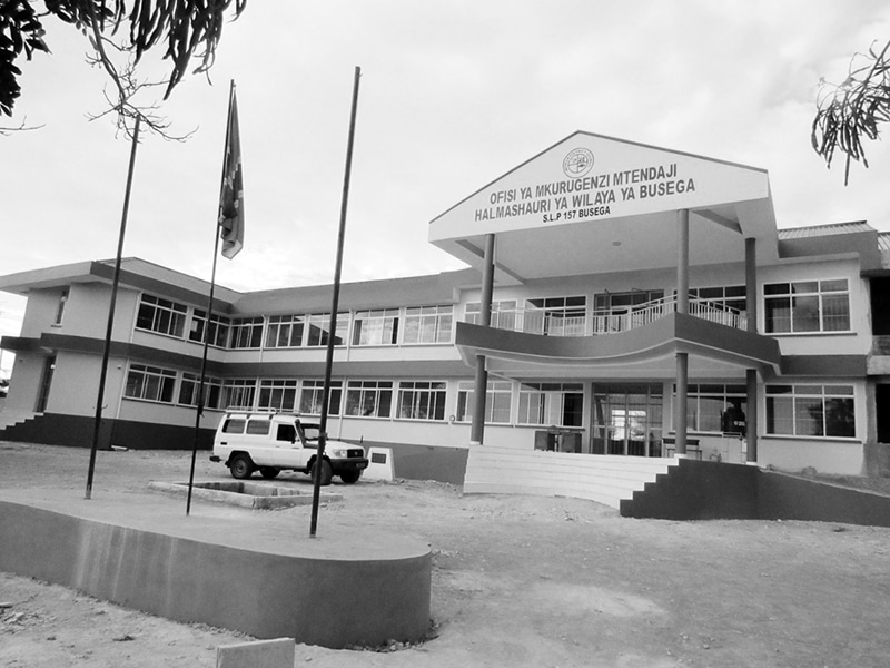
Busega District
Busega District is among the 5 districts in Tanzania’s Simiyu Region. Nyashimo town is the district’s administrative center. Magu District and Bariadi border Busega District to the south and east, respectively, while Bunda District and Lake Victoria border the district to the north.
Busega District has a total population of 203,957 people as of 2012. The district was created in 2012 after it was carved out of Magu District to become a constituent of the newly created Simiyu Region.
Transport
Two paved and well-maintained national main roads connect Busega District. The Musoma-Mwanza highway (trunk roadway T4) passes through Busega from south to north. The roadway connecting Mara Region to Shinyanga Region (trunk roadway T36) branches off the Mwanza-Musoma road in Lamadi town in Busega District. The road also runs through the capital of the region, Bariadi.
Tourism
Due to its closeness to Serengeti National Park’s western ‘Ndabaka’ gate, there are many hotels in the northern portion of the Busega District to accommodate tourists visiting the park.
Administrative Subdivisions
Wards
Administratively, Busega District in Simiyu is split into thirteen wards as of 2012. The wards are:
Nyashimo Ward
Badugu
Kabita
Igalukilo
Kalemela
Lamadi
Kiloleli
Mkula
Lutubiga
Malili
Nyaluhande
Mwamanyili
Ngasamo
Imalamate
Shigala
Bariadi District
Bariadi District is among the 5 districts of Tanzania’s Simiyu Region. The district’s total population is 605,509 as of 2002.
History
Before 2012, Bariadi used to be a part of the Shinyanga Region until it was included in the Simiyu region.
Economy
One of the largest nickel deposits in the world is found in the Dutwa Ward of Bariadi District.
Wards
Administratively, Bariadi District was divided into 26 wards as of 2002.
- Zagayu
- Bariadi
- Bunamhala
- Bumera
- Gamboshi
- Chinamili
- Dutwa
- Kinang’weli
- Ikungulyabashashi
- Kasoli
- Mbita
- Lagangabilili
- Lugulu
- Mwadobana
- Somanda
- Mhango
- Mhunze
- Mwaubingi
- Mwamapalala
- Mwaswale
- Nyakabindi
- Nkololo
- Nkoma
- Sapiwi
- Sagata
- Sakwe
Simiyu Past Regional Commissioners
| Full name | Year | Note |
| David Kafulila | 2021 | Current |
| Anthony Mtaka | 2021 | Predecessor |
| ??? | 2016 | TBA |
| ??? | 2012 | TBA |
For more articles related to regions of Tanzania click here!


