


")


Rukwa Region – History, Districts, Economy and More
With a postcode of 55000, the Rukwa Region is one of the thirty-one administrative regions in Tanzania. The Sumbawanga municipality serves as the regional capital. The area had an approximate population of 1,004,539 people as per the 2012 national census. The 3.2 percent mean yearly population growth rate of the region was joint 3rd highest in the nation between 2002 and 2012. With forty-four persons per sq kilometer, it was likewise the 20th most densely inhabited region.
The Katavi Area borders the Rukwa region to the north, the Mbeya Region to the east, Zambia to the south, and Lake Tanganyika to the west, which serves as a boundary between Tanzania and the DRC.
History of Rukwa Region
The region derives its name from Lake Rukwa Tanzania, which is home to the country’s biggest crocodile population. It is the Fipa people’s homeland, where they survive off subsistence agriculture, cattle keeping, and Lake Rukwa fish whose habitat is mainly the Lake Rukwa basin.
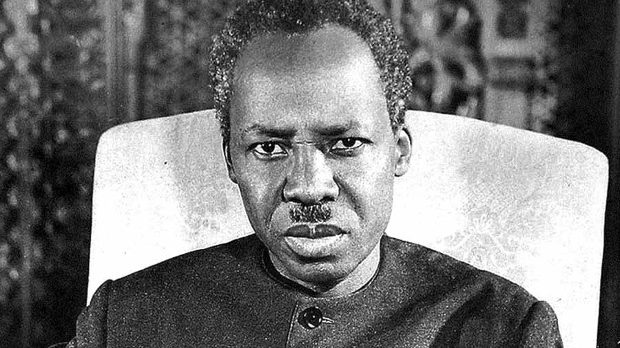
President Mwalimu Julius Kambarage Nyerere created the Rukwa Region in 1975 by combining the Mpanda District of Tabora and Sumbawanga District of the Mbeya Region, which was previously united. The Nkasi District was founded in 1984. The area was restructured in 2012, with the Mpanda District being transferred to the new Katavi area.
Rukwa Region Districts
Sumbawanga Municipal Council (MC), Kalambo District Council, Sumbwanga District Council, and Nkasi District Council are the four administrative bodies in the region. Moreover, Rukwa is divided into two townships (Namanyere and Laela located in the Nkasi and Sumbawanga districts respectively). Rukwa is divided into sixteen divisions, ninety-seven wards, three hundred and thirty-nine villages, 1817 hamlets, and a hundred and sixty-five streets.
Districts found in Rukwa Tanzania
| District | Population (as per 2012 census) | Administrative Centre |
| Sumbwanga | 353,0782 | Sumbawanga |
| Nkasi | 281,200 | Namanyere |
| Lyamba Iya Mfipa | 162,557 | Mtowisa |
| Kalambo | 207,000 | Matai |
| Total | 1,004,539 |
Economy of Rukwa Region
Agriculture in Rukwa Region
Rukwa lake area Tanzania is famous for production of food crops. Its fertile terrain is ideal for corn (maize), paddy, beans, wheat, and banana farming.
Mining in Rukwa Region
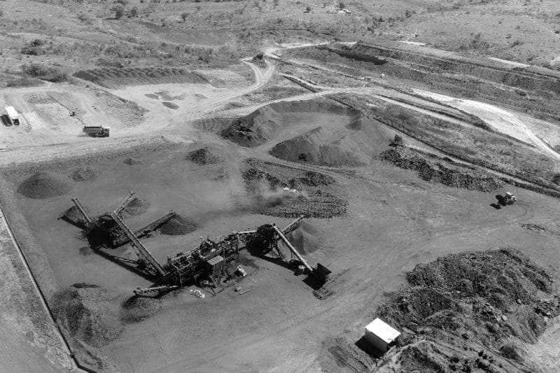
While the Rukwa Region has vast mineral potential, there are no operating major mines. Topaz, rubies, amethysts, aquamarines, moonstones, and Emeralds are some of the gemstones that have been discovered in various locales. The Namwele, Muze, and Mkomolo regions have coal seams, with some mining already done in these regions.
Rukwa Game Reserve
Southwest Tanzania’s Rukwa Valley is home to the Uwanda Rukwa Game Reserve. It extends into Katavi National Park and is 4100 square kilometres in size. It contains about all of Lake Rukwa. In 1971, this reserve was created.
The reserve is home to more than 400 kinds of birds.
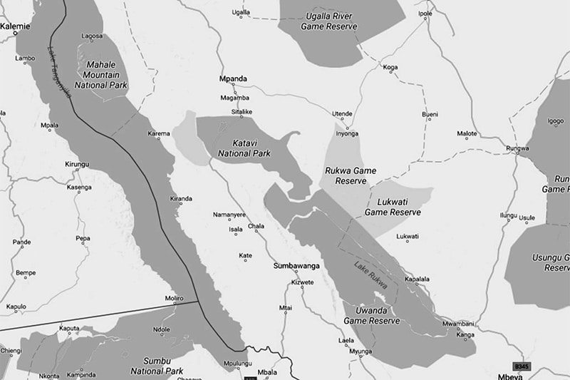
Rukwa Map
Other Important Information About Rukwa Region
The Rukwa Institute of Business Management is one of the main higher education entity in the region.
For more articles related to regions of Tanzania click here!


