


")


Things You Need to Know About Mount Rungwe
In Mbeya Region of Tanzania’s Southern Highlands is Mount Rungwe, a volcanic mountain. It is the second highest peak in the country with an altitude of 2,981 metres (9,780 feet). Rungwe volcano is currently dormant.
Geography
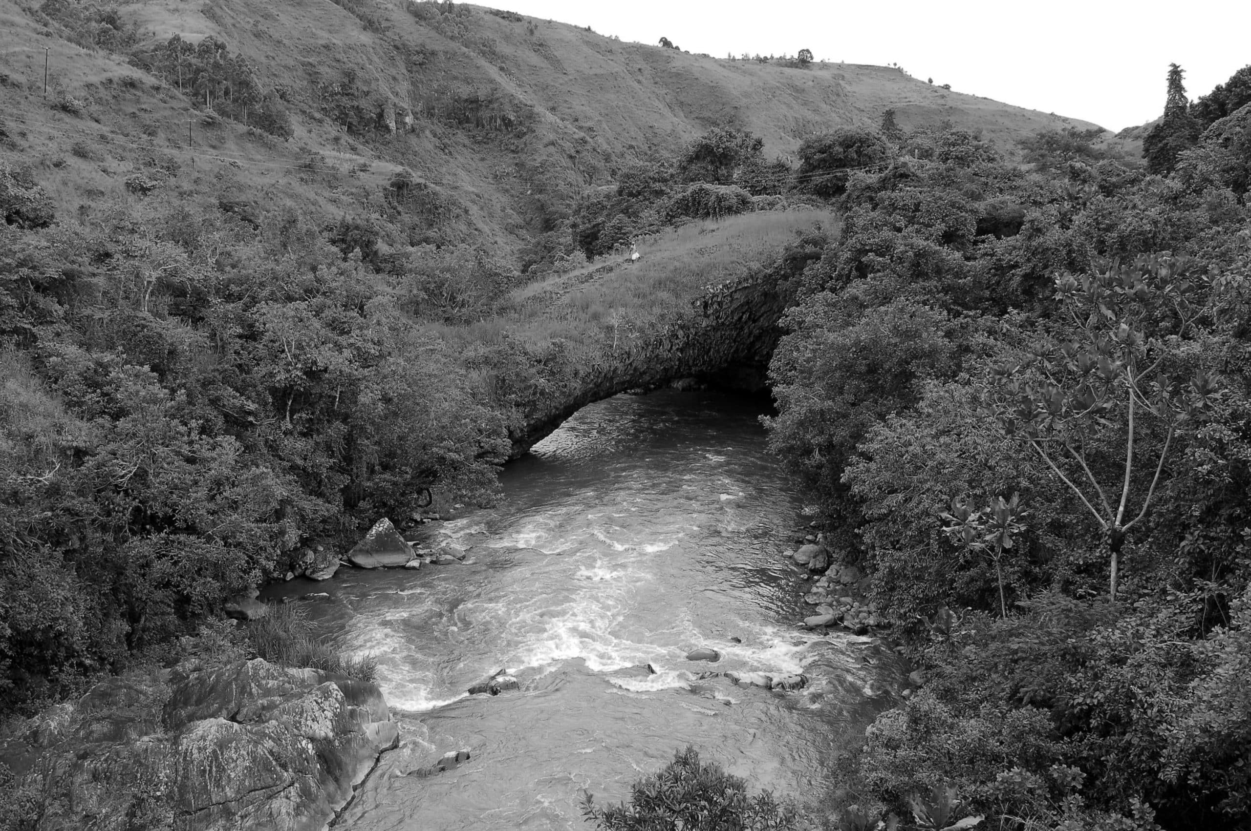
Mount Rungwe is the junction of the East African Rift’s western and eastern arms. It fills the mountainous country in the trough’s northwest end containing Lake Malawi. The Kipengere Range is in the east, while the Poroto Mountains are in the north. Kyejo volcano (or Kiejo) (2176 metres) is in the southeast. The Kyela Plain, occupying the East African Rift valley, is in the south, going to Lake Malawi.
River Kiwira drains the mountain’s western slopes, emptying into Lake Malawi.
Geology
The mountain is in the middle of the Rungwe Volcanic Province, an area of volcanic mountains including Kiejo, Mount Rungwe, and Mount Ngozi in the Poroto Mountains. Rungwe Volcanic Province is at the rift valley’s triple junction. Lake Malawi Rift egos to the southeast, Usungu Rift in the northeast, Lake Rukwa rift in the northwest.
The area has had volcanic activity since the late Miocene up to historical times. Ngozi and mount Rungwe have experienced Plinian eruptions from the dawn of the Ice Age. geothermal activity has been experienced in the region, with hot and warm springs. Mount Rungwe has a 4-kilometer-wide caldera, breached to WSW. The mountain had a huge explosive eruption around 4000 years back, with the most current eruption about 1200 years back. Kyejo last had an eruption about1800.
Climate Surrounding Mount Rungwe
The climate of the mount Rungwe is tropical montane. November to April receive most rainfall during the wet season, however light rain and mists occur in the dry season. frosts at nighttime are common between June and August. The mountain’s southeastern slopes receive up to 3 metres (9.8 feet) of rainfall annually, Tanzania’s highest rainfall.
Ecology
Mount Rungwe’s plant communities vary with altitude. The nearby lowlands are mainly Miombo woodlands. The forest reserve’s lower slopes have evergreen lower montane forests, especially in the southeast. popular trees include Albizia gummifera, Aphloia theiformis, Maesa lanceolata, Ficalhoa laurifolia, Bersama abyssinica and Trichocladus ellipticus.
Higher montane forests on mount Rungwe exist at an elevation of up to 2600 meters, creating a broken canopy of around 10–25 meters. Popular trees include Aphloia theiformis, Albizia gummifera, Bersama abyssinica, Diospyros whyteana, Bridelia micrantha, Hagenia abyssinica, Maesa lanceolata, Macaranga kilimandscharica, Maytenus acuminata, Neoboutonia macrocalyx and Myrianthus holstii. Schefflera goetzenii is a popular creeping vine.
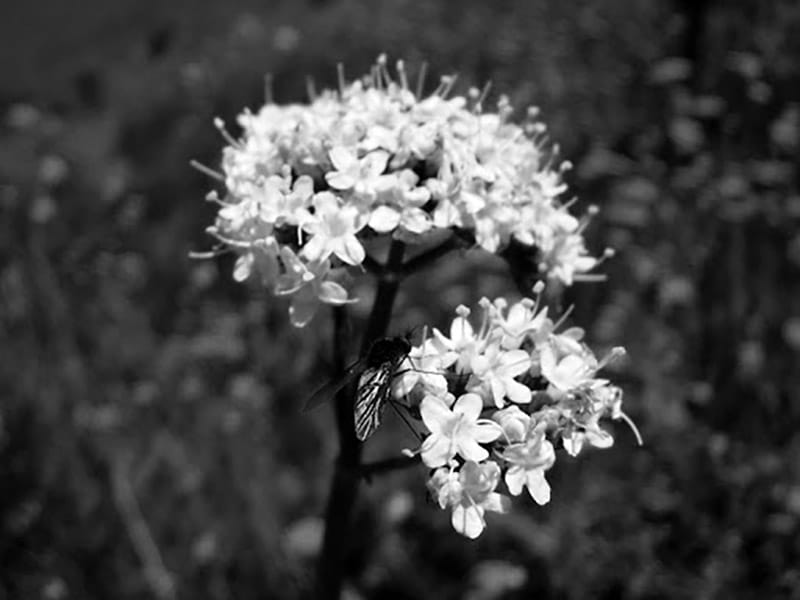
At an elevation of 2600 meters on mount Rungwe, the higher montane forests evolve in bamboo belt covering around 866 hectares, with heathland from 2600 to 2800 meters altitude. The heathland has species such as Aloe, Erica, and Protea, including Agarista salicifolia, Hagenia abyssinica, Catha edulis, Maesa lanceolata, Hypericum revolutum. bushed grassland is at the mountaintop covering around 300 hectares. High-altitude herbs include Valeriana capensis, bracken, and Buchnera rungwensis.
Two amphibians (Probreviceps rungwensis and Phrynobatrachus rungwensis) get their names from Mount Rungwe their first place of collection. Rungwecebus, a monkey family got its name from the mount Rungwe in 2005. It was first believed to be a kind of mangabey from the Lophocebus family until thoroughly genetic analysis revealed its closer relationship to baboons.
Rungwecebus inhabits mount Rungwe, in the nearby Livingstone Forest Reserve of the Kipengere Range, including having an isolated group in the Udzungwa Mountains 250 miles in the east. A newly-discovered primate species is the Rungwe dwarf galago of the Galagoides family found on mount Rungwe including surrounding parts of the Kipengere and Poroto mountains. It is home to bamboo and montane evergreen forests.
Mount Rungwe Nature Forest Reserve
In 1949, the mount Rungwe’s biggest part (13,652.1 hectares) was gazetted as a Catchment Forest. By 2009, the forest reserve was made a Nature Forest Reserve to improve its conservation.
For more articles related to Mountains of Tanzania, click here!


