


")


Chato District Tanzania – History, Transport, Divisions, Economy and More
Chato District is one of the Geita Region’s 5 districts in northwestern Tanzania. The town of Chato serves as the administrative center. The Sukuma are the district’s most populous ethnic group. Chato district was the birthplace of Tanzanian President John Pombe Magufuli, who served from 2015 to 2021.
History of Chato District
After being detached from Biharamulo District in 2005, the Chato District was founded within Kagera Region. It was moved to the newly formed Geita Region in 2012.
Rwandan refugees who had resided in the district were evacuated in March 2006. The next year, a few people who had been wrongfully evicted were allowed to return.
Chato District Transport System
Airport
Chato district is home to the region’s largest airport, Geita Airport, which is located 8.7 miles (14 km) south of the City.
Road
The Chato district is traversed by the constructed truck route T4 (which connects Mwanza and Bukoba).
Geography
Chato District Location
Lake Victoria is to the northeast, Geita District is towards the east, Bukombe and Mbogwe districts are towards the south, and Biharamulo District in the Kagera Region is to the north and west.
Topology
Chato District Climate
Chato District receives enough yearly rainfall, ranging between 28 and 39 inches (700 and 1,000 mm) every year. The highest temperature is approximately 86.9 °F (30.5 °C), and the lowest temperature is around 79.9 °F (26.6 °C)
Administrative Division
Chato Disctrict Wards
Chato District is split into twenty-three wards:
- Buseresere ward
- Bukome ward
- Butengorumasa ward
- Bwanga ward
- Buziku ward
- Bwera ward
- Bwongera ward
- Bwina ward
- Minkoto ward
- Chato ward
- Ilemela ward
- Ichwankima ward
- Iparamasa ward
- Ilyamchele ward
- Kasenga ward
- Kachwamba ward
- Kigongo ward
- Makurugusi ward
- Katende ward
- Muungano ward
- Muganza ward
- Nyarutembo ward
- Nyamirembe ward
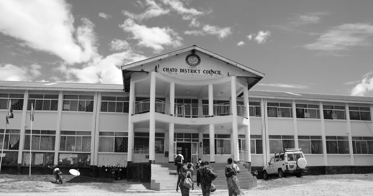
Chato district council – https://chatodc.go.tz/
Economy
The main source of income in Chato district is subsistence farming, which is done without irrigation and relies solely on rain.
Food Crops
Bananas, maize, beans, sweet potatoes, and cassavas are common crops in Chato district for local consumption.
Cash Crops
Cotton, coffee, tobacco, and sunflower are farmed for sale, but commercial farming is not well developed.
Livestock
With a few commercial ranches, livestock rearing is largely an afterthought to farming.
Tourism
Rubondo Island National Park is a small island off the shore of Chato District in Lake Victoria. It is accessible by boat from Kasenda village in the district’s northwestern corner.
For more articles related to regions of Tanzania click here!


